Mollenhauer has been at the forefront of the surveying and mapping profession in Southern California for over 95+ years, with a particular emphasis on metropolitan Los Angeles. The firm has conducted surveys on a significant portion of major commercial buildings in downtown Los Angeles, providing the ability to perform updates on these properties quickly and more cost-effectively than starting from scratch.
Services provided include:
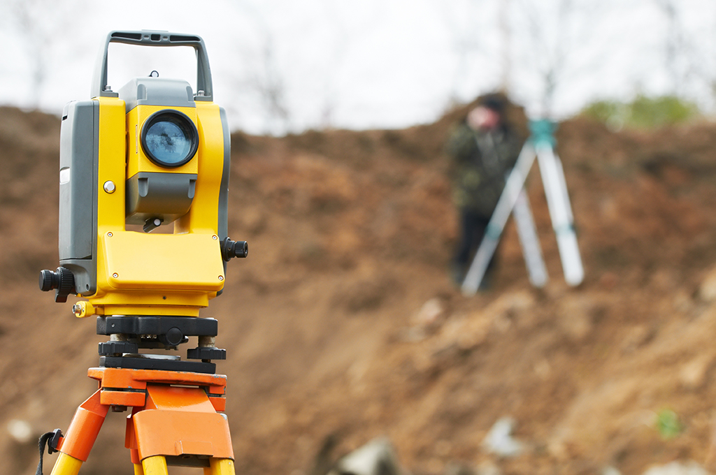
Aerial Photographic Surveys
Architectural Design Surveys
American Land & Title Association Surveys (ALTA)
As-built Surveys
Global Positioning Surveying (GPS)
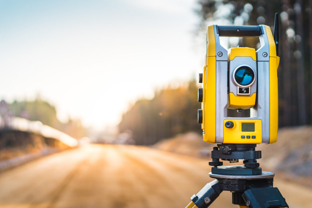
High-Rise Construction Surveys
Medical Facilities Mapping & Surveys
Legal Descriptions & Exhibits
Pre-Construction Surveying Reviews
Photo-Documentation & Monitoring
Pipeline Surveys
Residential Development Surveys
Right-of-Way Mapping & Engineering
Street Vacation
Utility & Detection Surveys
CIVIL ENGINEERING
Mollenhauer’s civil engineering department provides a broad range of development services for commercial, educational, non-profit, industrial, and residential developments.
Services of our many clients include:
Nadel Architects
Los Angeles Unified School District
Simi Valley Unified School District
Johnson Fain Architects
Amador Whittle Architects
AC Martin
Kaiser Permanente
ML Architecture
Los Angeles Dodgers
Grifols Pharmaceuticals
George C. Hopkins Construction
Mollenhauer project managers are registered professional engineers with the authority and responsibility to direct all matters affecting each project. Each project manager remains closely involved in every project from concept to completion.
Services provided include:
LEED®
Site Development
Grading, Drainage and Paving Design
Erosion and Earthwork Analysis
Sewer, Water and Utility Plans
Standard Urban Stormwater Mitigation Plans (SUSMP)
Storm Water Management and Storm Water Pollution Prevention Plans (SWPPP)
Utilities Coordination and Design
Street Vacation and Relocation
Streetscape
Hydrology and Hydraulic Analysis
Permit Acquisitions
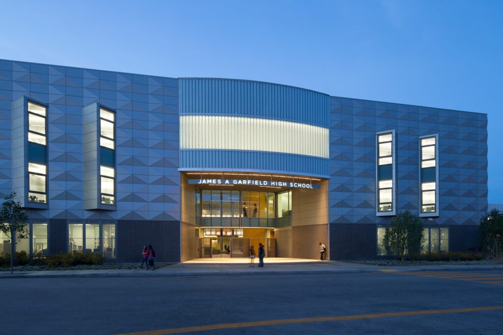
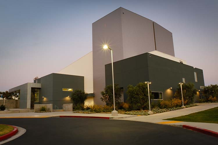
Garfield High School, LAUSD
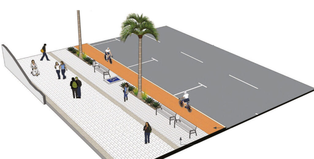
Path of Travel - ADA Example
Santa Susanna High School - SVUSD
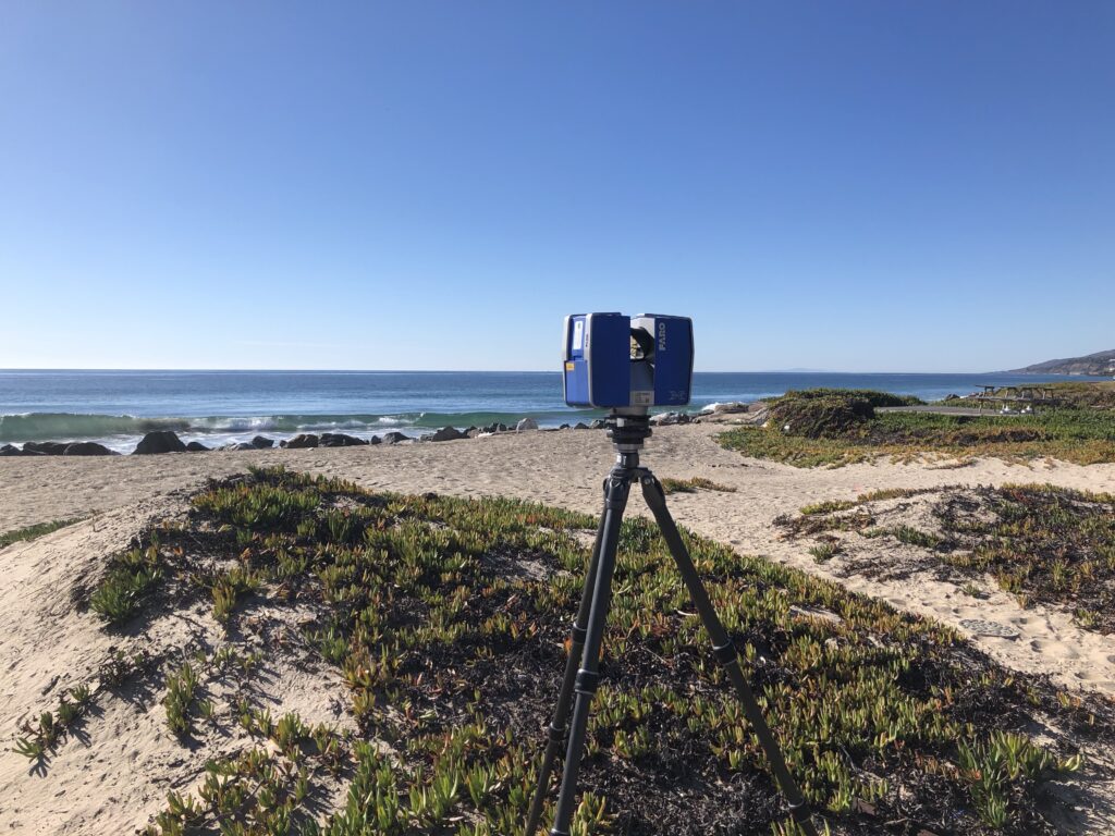
3D Laser Scanning Scan to BIM Survey to BIM
Mollenhauer Group has been involved in laser scanning since 2003 and has the experience to interpret the point cloud to create a useful, usable and accurate deliverable. We exclusively use the Faro Focus 3D scanners to collect our point cloud data.